
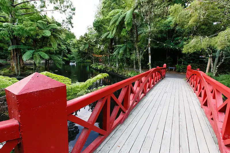
The main park entrance is on Fillis Street. Other car-park entrances include Rogan Street, Victoria Road and Brooklands Park Drive. Choose the entrance nearest the part of the park you want to explore.
Open the official park map
The council’s Pukekura Park visitor page links both the Pukekura Park and Brooklands Park maps. Use the map for the area you want to visit and save it before leaving your accommodation.
Locate your first destination, a nearby entrance and your return route. Then add a second stop if it fits comfortably. This works better than arriving at the nearest map pin and discovering that the attraction you want is on the other side of the park.
Choose parking and an entrance together
| Your priority | What to check on the map |
|---|---|
| A first park visit | Start by looking at the main Fillis Street entrance and the places you want to see from there. |
| Brooklands | Use the Brooklands map and compare the Brooklands Park Drive approach. |
| Fewer steps | Choose a signposted accessible route rather than the shortest line across the map. |
| A picnic or family outing | Locate a rest area, toilets and a manageable return to your parking place. |
Read the signs where you park and note the gate arrangements for the entrance you use. If you are going to an event, follow its entry and transport instructions as well as the general park map.
Plan a garden and fernery visit
Choose a walk that leaves time to stop and enjoy the gardens. A first visit can centre on the lakes and nearby paths, with the Fernery and Display Houses as a separate stop. Check opening details before making the fernery the main reason for your trip.
Use the Fernery and Display Houses information to plan your visit. If you need step-free access, check the route and access details for the particular areas you want to see. The park includes steep paths and stairs, so one accessible entrance does not describe every route.
- Save your map and mark your entrance.
- Choose one or two main stops, with time for a rest.
- Wear shoes suited to walking and bring a weather layer.
- Locate toilets before setting off with children.
- Keep bikes out of the park and follow the signs for permitted routes.
Match your stay to the visit
Sunrays Stay accommodates up to five guests and Te Henui Outlook up to six. Compare the homes and your intended park entrance in our accommodation near Pukekura Park guide, then choose your dates.
For an evening event, see our Festival of Lights planning guide or WOMAD accommodation guide. Each event has its own arrangements, so save those details alongside the park map. For a daytime alternative, our New Plymouth visitor guide includes the coast and indoor attractions.
Your questions
Where is the main entrance to Pukekura Park?
The main entrance is on Fillis Street. Use the council map to compare it with the entrance closest to your first destination.
Does one map cover every event entrance?
Use the park map for general orientation and the event organiser’s information for event-specific gates, transport and access.
Make the park part of your New Plymouth break
Check Sunrays Stay for up to five guests, then choose the park entrance and activities that suit your day.
Check dates for Sunrays Stay